
Search filter
Clear filters
-
- Biogesciences
- Geodesy and Gravity
- Geology
- Geomorphology
- Gravimetry
- Hydrology
- Interdisciplinary
- Biology/Ecosystems Science
- Biogeochemistry
- Laboratory Keywords
- Analytical Methods
- In Situ/Laboratory Instruments
- Other Laboratory Instruments
- Particle Size Analysis
- Natural Hazards
- Remote Sensing
- Risks
- Superconducting Gravimetry
Section 4.4 Hydrology
Got 5 results.
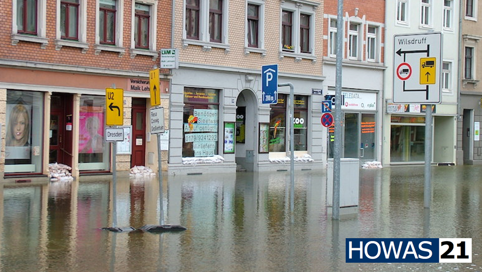
Fluvial inundation maps for the German Danube basin with future climate scenarios
This data set provides a stochastic event set of flood inundation depth maps (fluvial flood hazard footprints) for the German part of the Danube catchment for current and future climate in GEOTIFF format..
The maps provide inundation depth informati…

TERENO NE - Northeastern German Lowland Observatory
The Northeastern German Lowland observatory (TERENO-Northeast) is part of the Helmholtz Association`s interdisciplinary, long-term research network of Terrestrial Environmental Observatories - TERENO representing typical landscapes in Central Europ…