Search filter
Clear filters
-
- Biogesciences
- Geodesy and Gravity
- Geology
- Geomorphology
- Hydrology
- Hyperspectral Remote Sensing
- Informatics
- Interdisciplinary
- Biology/Ecosystems Science
- Biogeochemistry
- Laboratory Keywords
- Analytical Methods
- Earth Remote Sensing Instruments
- Passive Remote Sensing
- Spectroradiometry
- In Situ/Laboratory Instruments
- Photon/Optical Detectors
- UV-VIS-NIR Spectrophotometry
- Spectrometers/Radiometers
- Fourier Transform Infrared Spectroscopy
- X-Ray Fluorescence Spectroscopy
- Radio Science
- Remote Sensing
Section 1.4 Remote Sensing and Geoinformatics

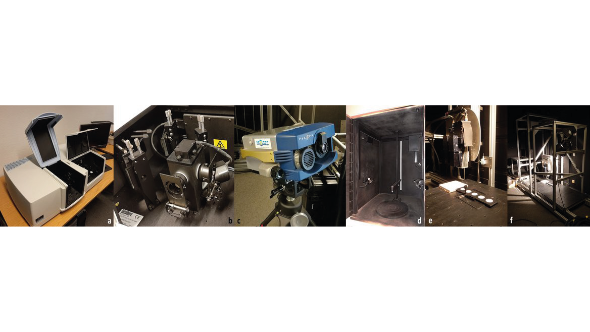
EnMAP - Scientific support of the hyperspectral satellite mission
The Environmental Mapping and Analysis Program (EnMAP) is a German hyperspectral satellite mission that monitors and characterizes the Earth’s environment on a global scale. The primary goal of EnMAP is to provide accurate diagnostic information on …
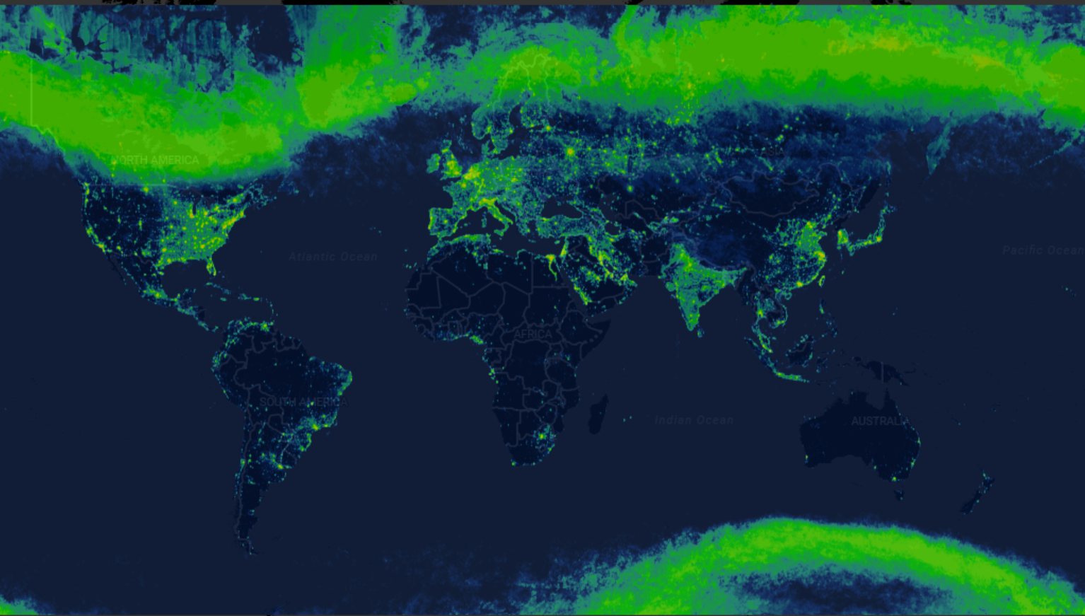
Radiance Light Trends
Radiance Light Trends is a GIS web application that is designed to quickly display information about radiance trends at a specific location (available online at https://lighttrends.lightpollutionmap.info). It uses data from two satellite systems, DM…

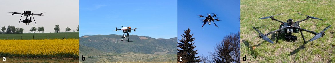
TERENO NE - Northeastern German Lowland Observatory
The Northeastern German Lowland observatory (TERENO-Northeast) is part of the Helmholtz Association`s interdisciplinary, long-term research network of Terrestrial Environmental Observatories - TERENO representing typical landscapes in Central Europ…