
ILRS - International Laser Ranging Service
Contact
GFZ Websites
Project Webpage
Data Access via
Infrastructure belongs to
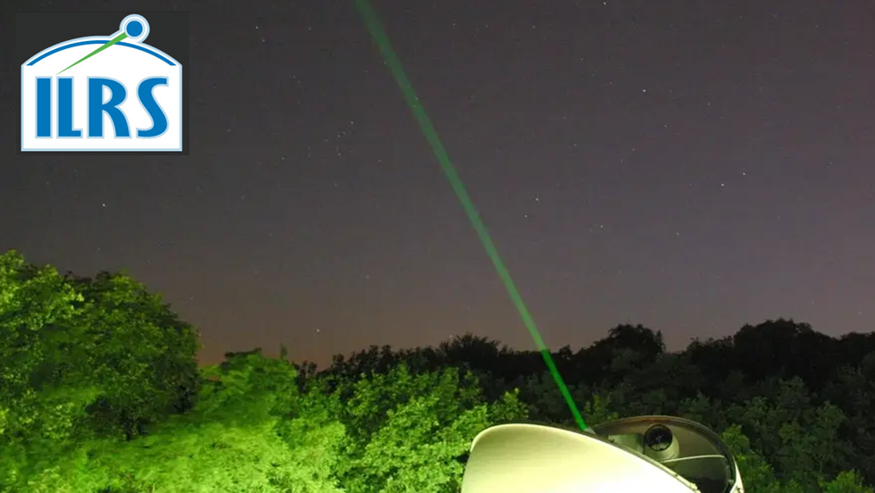
The International Laser Ranging Service (ILRS) was established as one of the IAG measurement services in 1998, with a charter to organize and coordinate world-wide Satellite Laser Ranging (SLR) and Lunar Laser Ranging (LLR) activities to support programs in geodesy, geophysics, and lunar and planetary science, and to provide the data products (Earth center of mass and scale) important to the maintenance and improvement of the International Terrestrial Reference Frame (ITRF).
For the ILRS we routinely analyse satellite laser ranging (SLR) data from geodetic satellites such as LAGEOS-1 und -2 sowie Etalon-1 und -2 as IRLS Analysis Centre (AC). We create daily and weekly products that contain loosely tied station coordinates and Earth rotation parameters (ERPs). These are incorporated into the official ILRS products, which are generated by combining the results from all analysis centres.
The daily combination is used primarily to predict Earth orientation parameters (EOPs) from the International Earth Rotation and reference systems Service (IERS). In addition, reprocessing campaigns are carried out at regular intervals in consultation with the IERS and based on uniform processing standards that apply to all analysis centres. These reprocessings contribute to the development of new international coordinate systems such as the ‘International Terrestrial Reference Frame’ (ITRF). Furthermore, innovations and scientific research are being developed as part of the AWG's pilot projects, in which we are actively involved.