Software

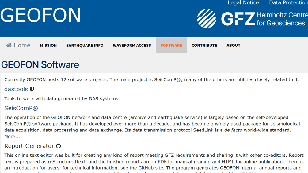
GEOFON Seismological Software
GEOFON has a long tradition of developing high-quality open software products for the seismological reasearch community. The best example is probably the SeisComP3 package (http://www.seiscomp3.org), which became one of the most widely used in the c…
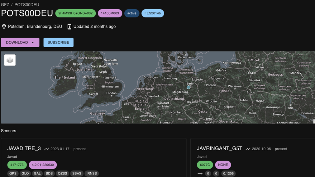
GFZRNX - RINEX GNSS Data Conversion and Manipulation Toolbox
GFZRNX is a toolbox designed and created for the needs of the GNSS community. It supports RINEX observation, navigation and meteorological data. The major tasks include checking, repairing and manipulating (sampling, selection of satellite systems a…
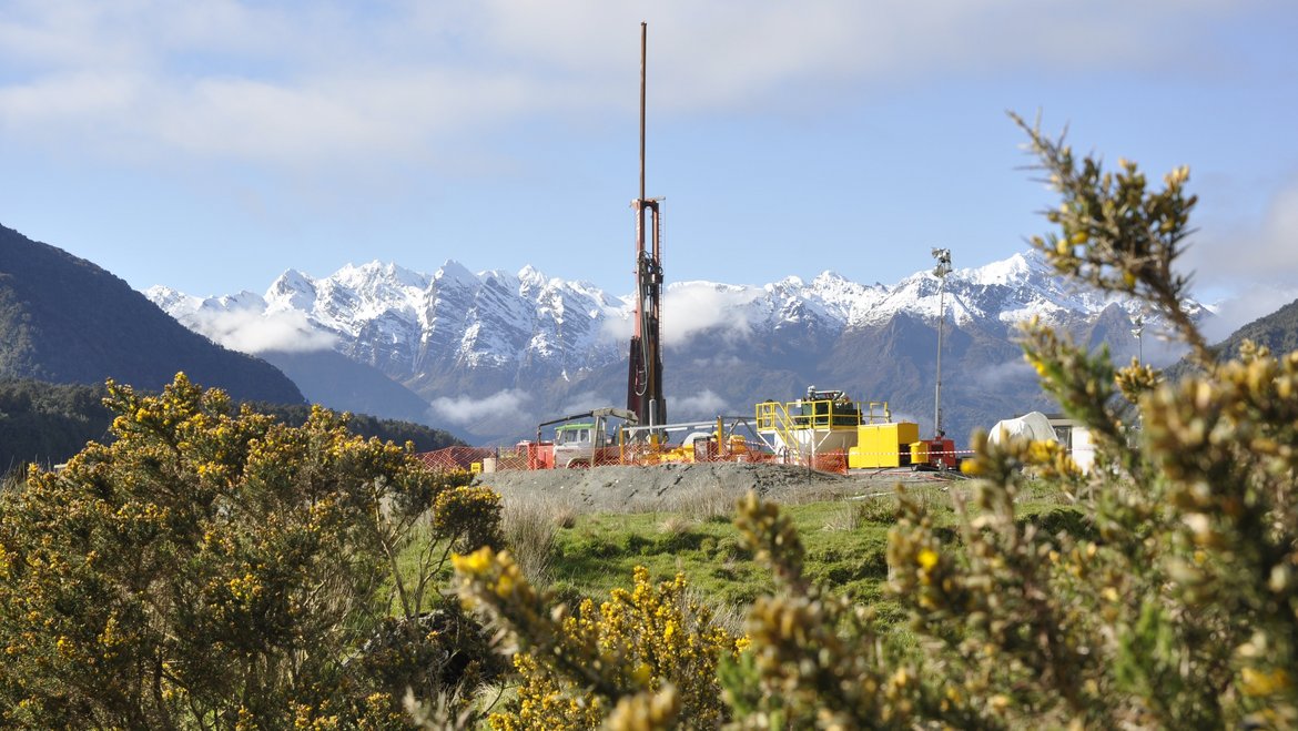
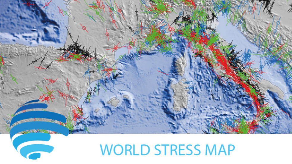
ICDP International Continental Scientific Drilling Programme
The International Continental Scientific Drilling Program (ICDP) is a multinational program to further and fund geosciences in the field of Continental Scientific Drilling. Scientific drilling is a critical tool in understanding of Earth processes a…
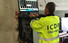
OSG ICDP | Operational Support Group of the International Continental Scientific Drilling Program
The Operational Support Group of the International Continental Scientific Drilling Program, ICDP, situated at GFZ, provides downhole logging services and access to utilize the ICDP instrument pool for PIs of successful ICDP proposals. ICDP is a prop…
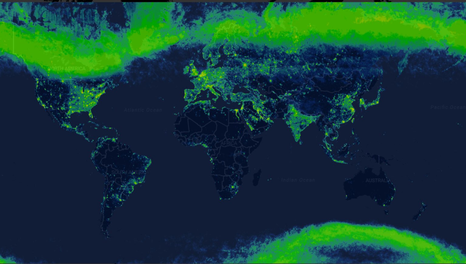
Radiance Light Trends
Radiance Light Trends is a GIS web application that is designed to quickly display information about radiance trends at a specific location (available online at https://lighttrends.lightpollutionmap.info). It uses data from two satellite systems, DM…