Search filter
Clear filters
-
- GFZ
- Department 1 Geodesy
- Section 1.1 Space Geodetic Techniques
- Section 1.2 Global Geomonitoring and Gravity Field
- Section 1.3 Earth System Modelling
- Department 2 Geophysics
- Section 2.2 Geophysical Imaging
- Section 2.3 Geomagnetism
- Section 2.4 Seismology
- Department 4 Geosystems
- Section 4.2 Geomechanics and Scientific Drilling
-
- Controlled Source Seismological Data
- Earth Magnetic Field Data
- Electromagnetic Data
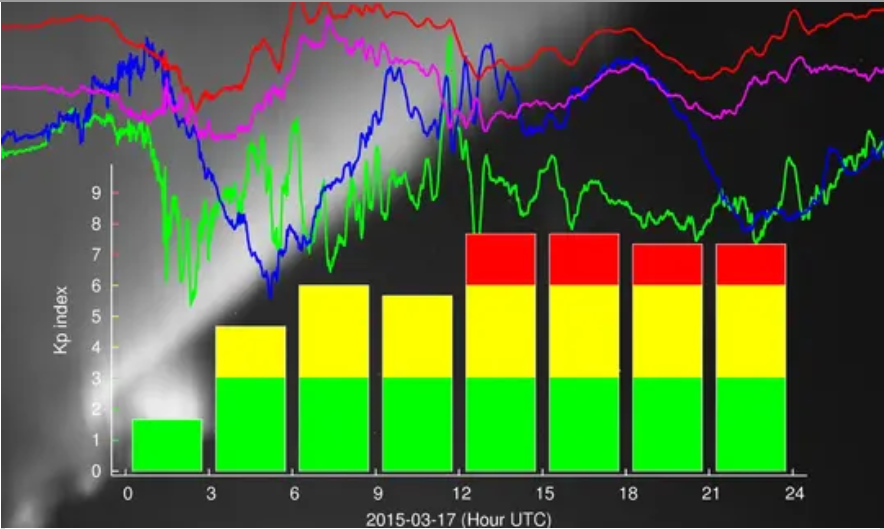
- Geomagnetic index
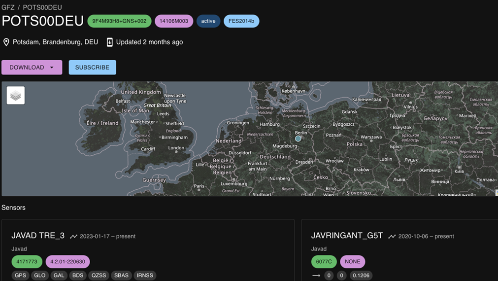
- GNSS Data
- GNSS Station and Satellite Metadata
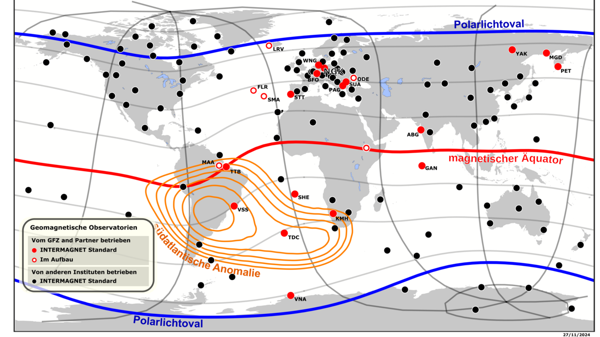
- Magnetic Data
- Magnetotelluric Data
- Observation Data and Derived Products for the Global Navigation Satellite Systems (GNSS)
- Passive Seismological Data
- Raw Gravity and Local Pressure Records and Products
- Seismic Events
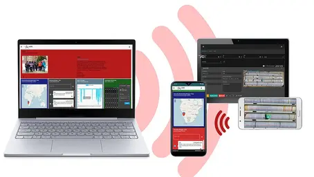
MESI Data Systems
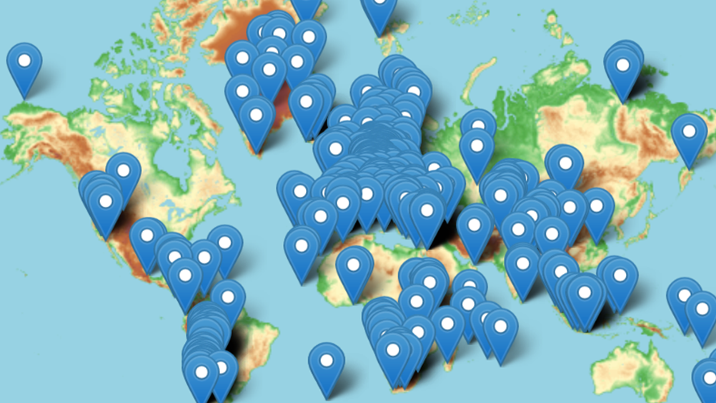
Science requires a solid database and access to dedicated instruments, laboratories, and data products. GFZ’s Modular Earth Science Infrastructure (MESI) provides essential observations for geosciences. It is thus one backbone of research at GFZ and is also available to users from universities and research institutes. The MESI data systems comprise data centres for geodesy and geophysics. This includes federated data archives with open data and standard programming interfaces, as well as derived products of public interest (earthquake monitor and magnetic activity index Kp).
Contact persons: Frederik Tilmann, Benjamin Männel, Sergiy Vorogushyn
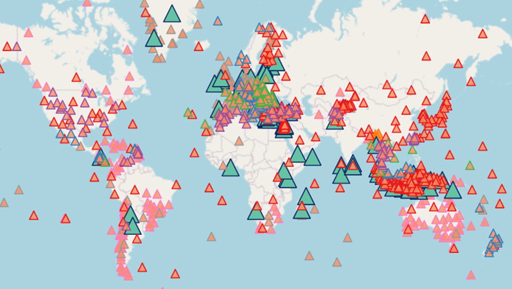
GEOFON Eqinfo - GEOFON Global Earthquake Monitoring System
All real time data streams from GEOFON stations as well as around 900 additional real-time stations from international partners are used to determine rapid automatic location estimates for all globally recorded earthquakes and most regional ones. Th…
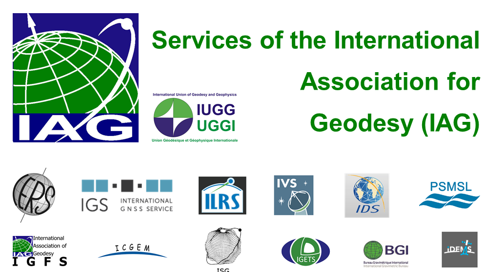
IAG Services - Services of the International Association of Geodesy (IAG Services)
The International Association of Geodesy (IAG) is the scientific organization in the field of geodesy. It promotes scientific cooperation and research in geodesy on a global scale and contributes to it through its various research bodies. It is a me…
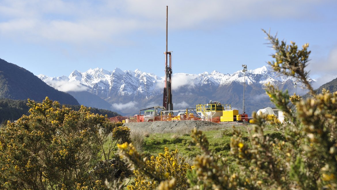
ICDP International Continental Scientific Drilling Programme
The International Continental Scientific Drilling Program (ICDP) is a multinational program to further and fund geosciences in the field of Continental Scientific Drilling. Scientific drilling is a critical tool in understanding of Earth processes a…
IGETS Database - Database of the International Geodynamics and Earth Tide Service
The International Geodynamics and Earth Tide Service (IGETS) is one of five services coordinated by the International Gravity Field Service (IFGS) of the International Association of Geodesy (IAG). The main objective of IGETS is to monitor temporal …
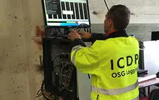
OSG ICDP | Operational Support Group of the International Continental Scientific Drilling Program
The Operational Support Group of the International Continental Scientific Drilling Program, ICDP, situated at GFZ, provides downhole logging services and access to utilize the ICDP instrument pool for PIs of successful ICDP proposals. ICDP is a prop…
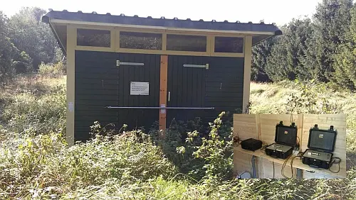
Permanent Magnetotelluric Reference Station in Wittstock, Germany
The sources for the magnetotelluric (MT) method are naturally occurring electromagnetic field variations. Electromagnetic currents are excited over a wide frequency range in the earth’s ionosphere by solar activity and global lighting discharges. Wh…