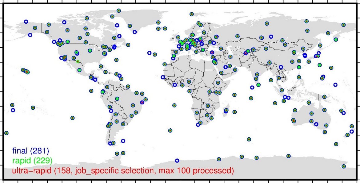
Observation Data and Derived Products for the Global Navigation Satellite Systems (GNSS)
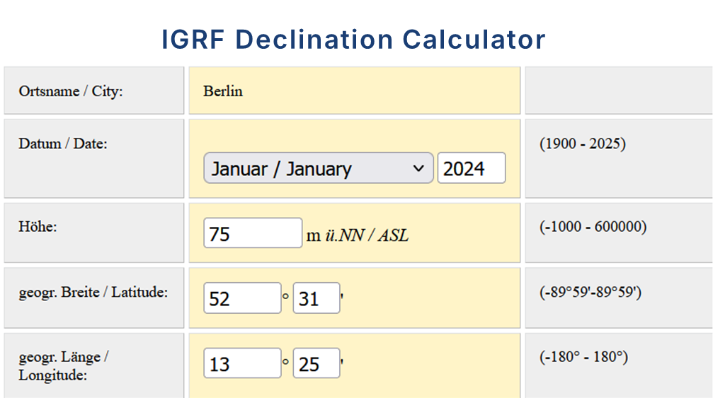
Declination Calculator for the International Geomagnetic Reference Field IGRF
The declination calculator provides declination values for any location on Earth and any time between 1900 and 2025. The calculation is based on the International Geomagentic Reference Field (IGRF) which describes the geomagnetic core field. The cal…

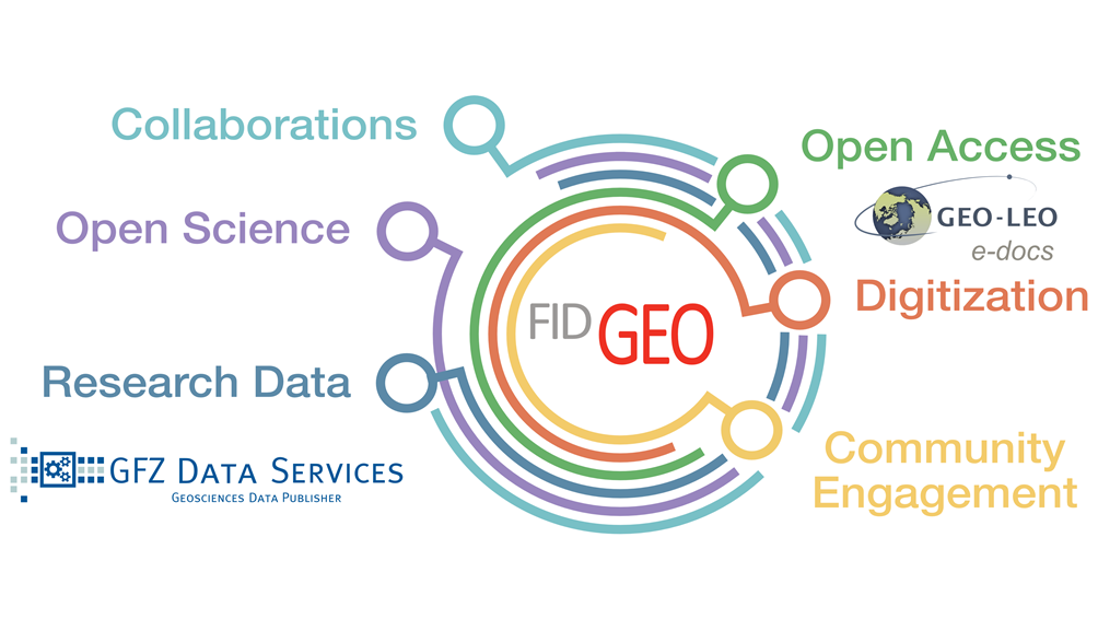
FID GEO - Specialised Information Service Geosciences
The Specialised Information Service for Geosciences (FID GEO - Fachinformationsdienst Geowissenschaften) is an information service of the GFZ Helmholtz Centre for Geosciences in Potsdam (GFZ) and the Goettingen State and University Library. Funded b…
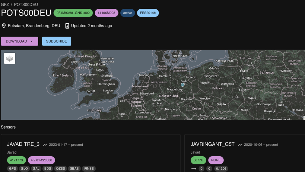
IGETS Database - Database of the International Geodynamics and Earth Tide Service
The International Geodynamics and Earth Tide Service (IGETS) is one of five services coordinated by the International Gravity Field Service (IFGS) of the International Association of Geodesy (IAG). The main objective of IGETS is to monitor temporal …